
The souter-angel-penshaw challenge
Created by Run Eat Sleep
Looking for a new ENDURANCE challenge?
Something A bit adventurous?
This could be just the thing.
The Souter–Angel–Penshaw Challenge is a self-navigated marathon-length route connecting three of the North East’s most iconic landmarks:
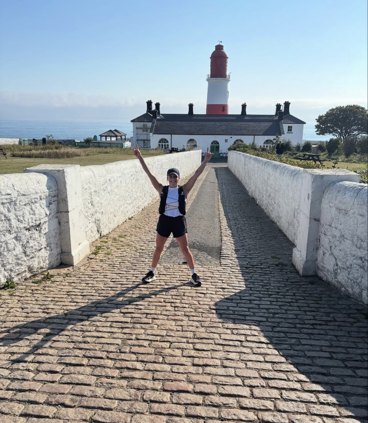
Souter Lighthouse
Angel of the North
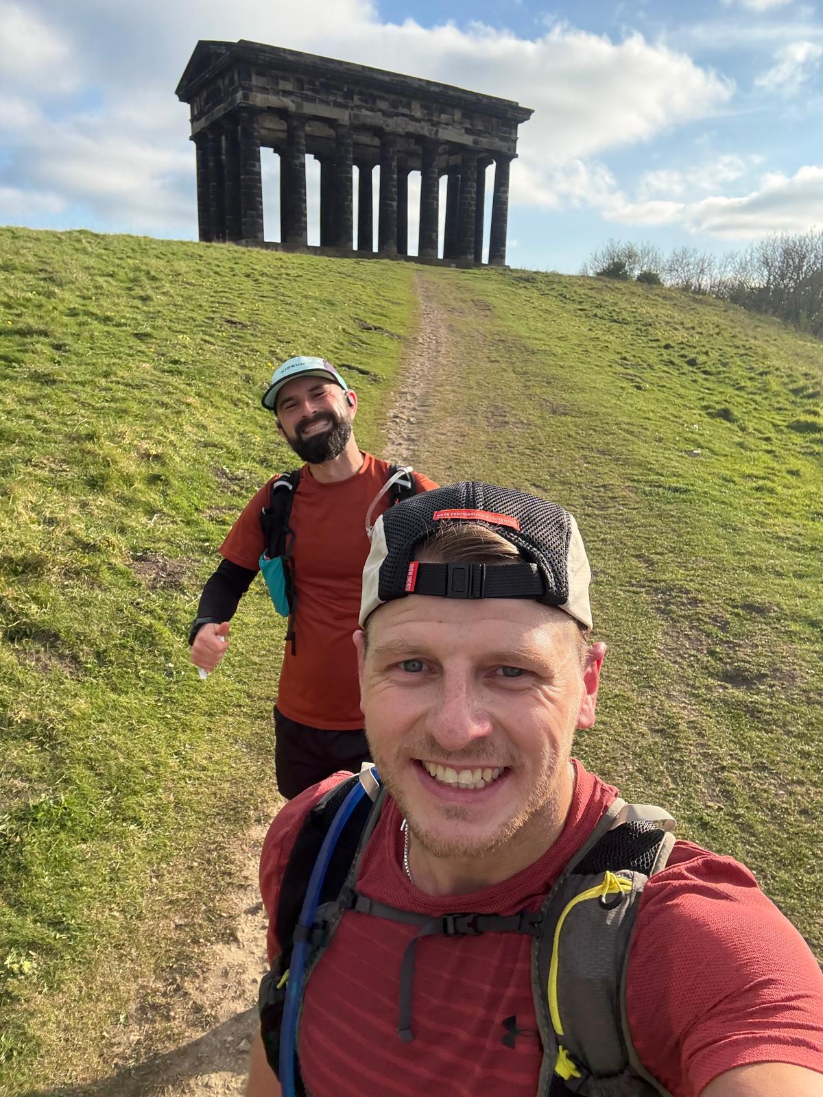
Penshaw Monument
…and back again.
28 MILES APPROX WITH 2000FT OF ELEVATION
There’s no entry fee, no set date, and no pressure — just a great route, a fun goal, and a solid day out on your feet.
leaderboard
| Rank | Name | Year | Direction | Time |
|---|---|---|---|---|
| 1 | Luke Adams | 2026 | Clockwise from Souter | 3:39:00 |
| 2 | Luke Adams | 2022 | Anticlockwise from Souter | 4:12:00 |
| 3 | Karl Maguire | 2025 | Clockwise from Souter | 4:25:00 |
| 4 | Kieren Laverick | 2026 | Clockwise from Souter | 5:27:41 |
| 4 | Simon Todd | 2026 | Clockwise from Souter | 5:27:41 |
| 6 | Elizabeth Heaton | 2025 | Clockwise from Souter | 5:52:00 |
| 7 | Kevin Warburton | 2026 | Clockwise from Souter | 5:54:00 |
| 8 | Kaye Symington | 2025 | Clockwise from Souter | 6:12:00 |
| 8 | Kevin Warburton | 2025 | Clockwise from Souter | 6:12:00 |
| 8 | Gary Brown-Gale | 2025 | Clockwise from Souter | 6:12:00 |
| 11 | Katrina Robson | 2026 | Clockwise from Souter | 6:16:00 |
| 11 | Darren Lough | 2026 | Clockwise from Souter | 6:16:00 |
THE STORY
The route was first run by Luke Adams in 2022 AS A PERSONAL CHALLENGE. It was never meant to be a race OR choosing THE SHORTEST ROUTE possible — just a fun day out LINKING up some amazing North East landmarks.
Now, it’s open to anyone who fancies giving it a go – whether you’re exploring your first ultra-distance run or looking for a new challenge close to home.
The aim is to keep it fun, low-key, and unique — a challenge that people might hear about, think on for a while, and one day decide to take on.
WHAT IS IT?
It’s simple:
Start at any of the three landmarks
Visit all three ON FOOT
Return to your starting point
Take a selfie at each location
Record your run with Strava or a GPX file
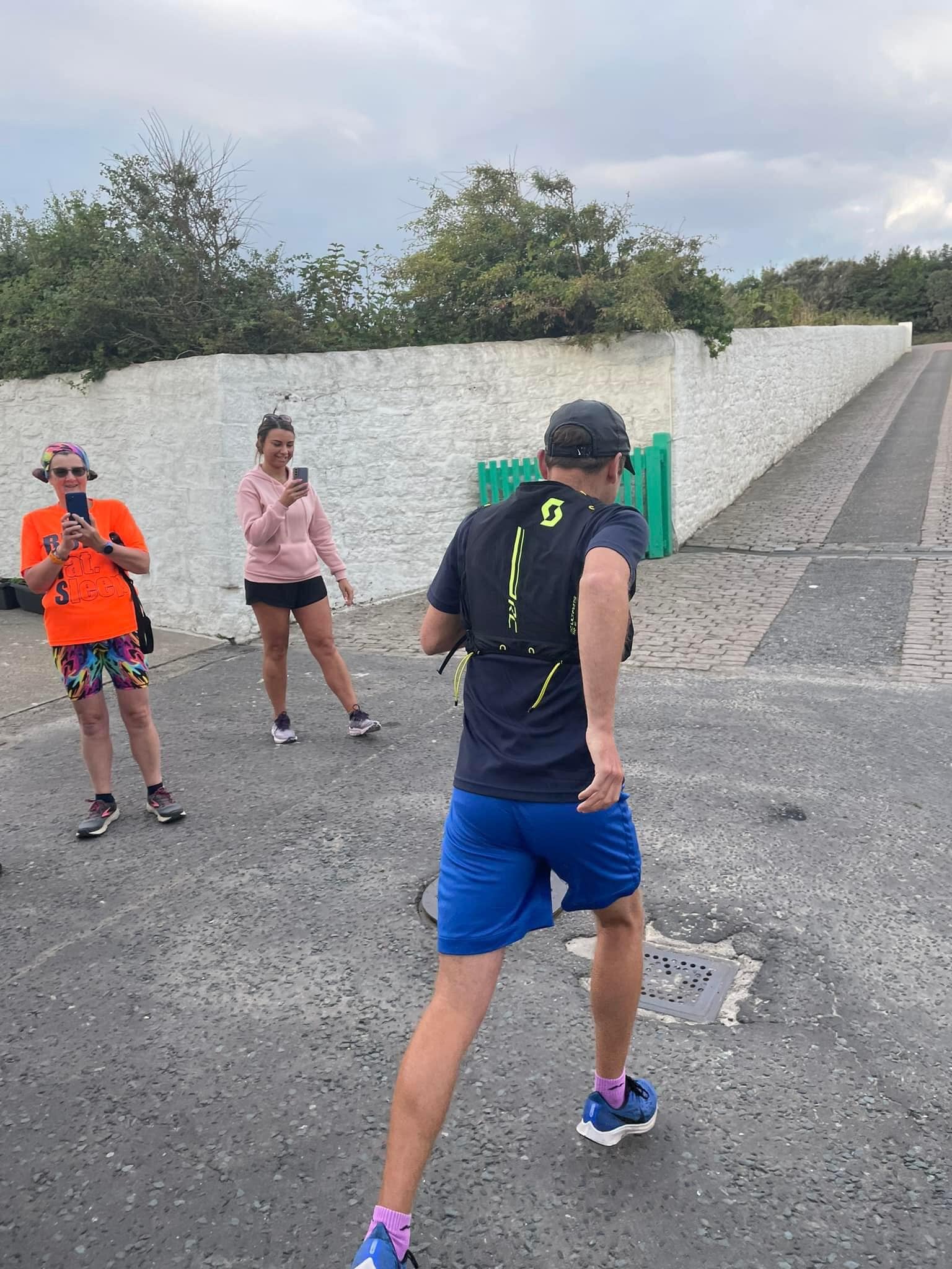
You can run it solo or with friends — make a day of it, take your time, or challenge yourself for a fast one. It’s totally up to you.
THE RULES
It’s FREE
You can do it any time AND CHOOSE YOUR OWN ROUTE OR FOLLOW OUR SUGGESTED ROUTE AND GPX HERE
Be self-supported OR SUPPORTED — carry what you need or plan your own pit stops
Take a selfie at each location
Submit your Strava or GPX file, selfies, your ELAPSED time + full distance
Email everything to luke@runeatsleep.co.uk
Tag us instagram or facebook so we can share your adventure!
THE LEADERBOARD
Everyone who completes the challenge will be added to the leaderboard, showing:
full Name
total Time taken
Total Distance
Whether you jog it, race it, or take the scenic route — it’s something to be proud of.
SOUND GOOD?
Pick your start point
Charge your watch
Pack some snacks & drinks
Grab a mate (or go solo)
Take your landmark selfies
Complete the loop
Then send it all to luke@runeatsleep.co.uk and tag runeatsleep when you share your day!
Participation is undertaken at your own risk. You are responsible for navigating your own route. Please be aware that changes in the landscape—such as path erosion, closures, or natural obstacles—may affect the accuracy of the GPX file provided. We strongly recommend that you conduct your own checks on any areas of uncertainty prior to your run.
For your safety:
Let someone know your planned route, expected return time, and any changes to your itinerary.
Take extra care at all road crossings—stay alert and follow appropriate road safety measures.
Ensure you carry sufficient water and energy supplies for the duration of your activity, and be mindful of your hydration and nutrition needs throughout the challenge.
 Saving...